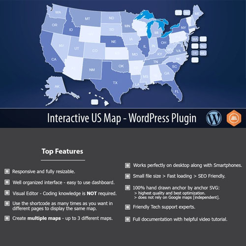
Interactive US Map – WordPress Plugin is a highly versatile and feature-rich plugin designed to integrate a fully interactive and customizable US map into your WordPress website. Whether you’re a business owner, educator, or organization, this plugin allows you to present geographical data in a visually appealing and engaging way. Perfect for displaying locations, regions, and statistical data, the Interactive US Map plugin makes it easier than ever to showcase US-specific information on your site.
Key Features:
- Fully Interactive US Map: The core feature of the Interactive US Map plugin is its ability to display a detailed and interactive map of the United States. Users can hover over or click on individual states to view more information, making it an excellent tool for highlighting different regions, state-specific content, or geographical areas of interest.
- Customizable State Colors: The plugin allows you to change the color scheme of each state on the map, offering complete customization. You can assign unique colors to represent various data points, such as population density, sales performance, regional offices, or any other category. This visual customization helps create an informative and aesthetically pleasing map that aligns with your site’s branding.
- Hover and Clickable Effects: With the Interactive US Map, you can enhance user interaction by enabling hover and clickable effects. When users hover over a state, it can change color, display a tooltip with more details, or even show pop-up information about the region. Additionally, clicking on a state can redirect users to another page with more in-depth information about that specific area. This dynamic interaction engages users and allows you to present detailed regional data in a fun and interactive way.
- Fully Responsive Design: The plugin is built with a responsive design, ensuring that the map looks great on all devices, including desktops, tablets, and smartphones. The map automatically adjusts to the size of the screen, providing a smooth user experience across different screen sizes. This makes it ideal for websites with mobile visitors, ensuring that the map remains interactive and easy to use, no matter the device.
- Easy-to-Use Shortcodes: To integrate the map into your website, the plugin provides simple shortcodes that allow you to embed the interactive map on any page or post. You don’t need to know any coding to use this plugin. Just insert the shortcode wherever you want the map to appear, and the plugin will take care of the rest.
- Location Markers and Popups: You can add location markers to the map to highlight specific regions or areas of interest. These markers can be customized to show additional information in pop-up windows when clicked. This feature is perfect for businesses or educational sites that want to display specific locations, such as office branches, customer locations, or key landmarks.
- Customizable Tooltips: Tooltips are an effective way to display additional information when a user hovers over a specific state. The plugin allows you to customize the content of the tooltips, including text, images, and links. This feature can be used to provide concise details about each state or region, making the map a valuable resource for your visitors.
- Geo-Targeted Content: The plugin can be used to target and display content based on the user’s location. By detecting the user’s geographic location, the plugin can show different information tailored to their region. This can be useful for businesses with region-specific offers or content, improving user engagement and relevance.
- Customizable Map Size and Layout: The Interactive US Map plugin allows you to adjust the size and layout of the map according to your website’s design. Whether you want a small map widget for the sidebar or a large, full-screen map for a dedicated page, the plugin gives you complete control over the map’s dimensions. The map is fully scalable, ensuring it fits perfectly within your site’s layout.
- Secure and Clean Files: As with all products from the original authors, the Interactive US Map plugin is delivered with 100% clean, untouched files. The plugin has been thoroughly checked to ensure it is free from malware and viruses, giving you peace of mind when installing it on your WordPress site. Additionally, the plugin is regularly updated, ensuring compatibility with the latest WordPress versions and continuous feature improvements.
Conclusion:
The Interactive US Map – WordPress Plugin is a must-have tool for anyone looking to add an interactive, engaging, and visually appealing map to their website. With its easy customization options, responsive design, interactive hover and click effects, and customizable markers and tooltips, this plugin provides a powerful way to display geographic data. Whether you are a business displaying regional offices, an educational site showing state statistics, or an organization highlighting important locations, this plugin offers a flexible and user-friendly solution. With simple installation and shortcodes, enhanced interactivity, and secure, clean files, the Interactive US Map plugin is the perfect addition to any WordPress site looking to enhance its geographical presentation.


Reviews
There are no reviews yet.